
MoDOT Traveler Map — How to Use Missouri's Road Conditions Tool
MoDOT's Traveler Information Map shows real-time road conditions, construction, and incidents across Missouri. Here is how to read it, what the data means, and when it matters most.
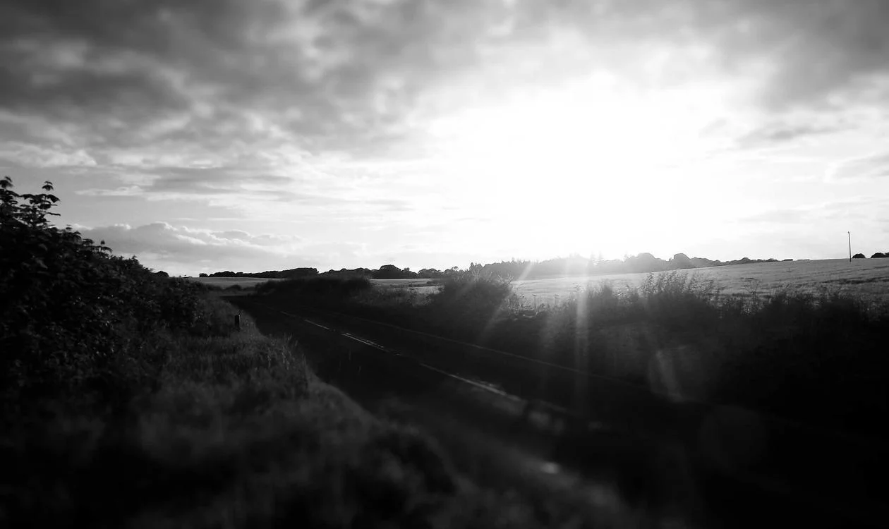
Missouri's highway network handles significant through traffic year-round — sitting at the geographic centre of the continental US, I-44, I-70, and I-55 carry millions of vehicles connecting the coasts, the Gulf, and the Great Lakes. MoDOT (Missouri Department of Transportation) provides a real-time road information tool — the Traveler Information Map at traveler.modot.org — that can be the difference between a smooth drive through Missouri and a four-hour delay behind a winter weather incident. Here is how to read and use it effectively.
How to read the MoDOT Traveler Map
The MoDOT Traveler Information Map is a web and app-based interface showing Missouri's state highway network with overlaid real-time data. The colour coding is the primary navigation layer. Green road segments indicate normal conditions — no reported incidents, standard travel speeds, no weather-related concerns. Yellow indicates minor issues — below-normal speeds, light construction activity, or minor incidents that may slow traffic. Orange marks significant conditions — major accidents, moderate construction delays, or weather-related slowdowns that materially affect travel time. Red signals severe conditions — road closures, major accidents with significant delays, or dangerous weather conditions requiring route consideration. Beyond colour coding, the map includes clickable icons for specific incident types: construction zones (cone icon), accidents (warning triangle), closures (X), weather cameras (camera icon), and road condition sensors. Clicking any icon opens a detail panel with specific information — incident description, estimated clearance time for accidents, or live camera feed for camera points. The camera feeds are the most practically useful feature. A camera image of I-70 near Columbia showing ice on the highway surface communicates road conditions more effectively than any text description. Missouri has deployed cameras at major interchange points, bridges, and known weather-sensitive sections — particularly in the Ozark highlands where ice forms faster than on the surrounding plains.

When MoDOT Traveler matters most — winter weather and construction season
Missouri's climate creates two high-value use periods for the Traveler Map: winter weather events and peak construction season (typically May–October). Winter weather: Missouri sits in a challenging weather zone where rain-to-ice transitions happen rapidly. The Missouri Ozarks (southwest Missouri on I-44, US-60, US-63) are particularly prone to ice events that catch drivers unfamiliar with the region. The Traveler Map's winter road condition layer shows current treatment status (whether MoDOT trucks are actively treating, have treated, or haven't reached specific segments), camera feeds showing actual surface conditions, and weather alerts for approaching systems. Checking the Traveler Map 30–60 minutes before departure on any day where temperatures are near freezing with precipitation is a basic Missouri winter driving practice. Construction season: Missouri maintains an active highway improvement programme, and I-70 in particular has been under various construction phases for years. The Traveler Map shows active construction zones with lane reduction information, time-of-day lane closure schedules, and construction zone speed limit changes. Planning a Missouri cross-state drive without checking construction status — particularly on I-70 between St. Louis and Kansas City — risks encountering significant delays.
Editor's tips
- Bookmark traveler.modot.org or download the app before entering Missouri on any long-distance drive
- During winter weather, check the camera feeds at bridges and overpasses specifically — these freeze before roadway sections
- 511 (phone) is the backup for MoDOT information if app/web access isn't available — the automated system covers the same data
MoDOT Traveler vs Google Maps and Waze for Missouri driving
The practical question for most travellers is whether MoDOT Traveler adds value over Google Maps or Waze. The answer is yes, but in specific contexts. Google Maps and Waze: crowdsourced incident data, traffic speed from GPS aggregation, excellent route alternative suggestions. These work well for urban and suburban Missouri (St. Louis metro, Kansas City metro, Springfield). Their limitation is rural data density — on rural Missouri highways, crowdsourced data thins out. An ice event on a rural Ozark highway may not appear in Waze for 30–60 minutes after developing, while MoDOT's road sensors and maintenance crews provide faster official confirmation. MoDOT Traveler Map: official state data with faster reporting of weather treatments and closures, camera feeds with visual confirmation, construction zone detail beyond what Google Maps typically shows, and better rural coverage. The combination approach is most effective: use Google Maps for routing and traffic speed; switch to MoDOT Traveler to visually confirm conditions at specific known problem sections or before crossing the Ozarks in winter weather.

Getting There: Flight Options
Compare live prices across 500+ airlines and booking platforms. Flexible date search lets you find the cheapest nearby dates.
Frequently asked questions
The MoDOT Traveler Information Map (traveler.modot.org) is Missouri's official real-time road conditions platform, showing colour-coded road segments (green/yellow/orange/red), live camera feeds, construction zones, incidents, and weather alerts across the Missouri state highway network. It is free to use via web or the iOS/Android app.
MoDOT's Traveler Information Map is a free, well-maintained real-time road information tool that earns its place in any Missouri driver's toolkit — particularly for winter driving, Ozark crossings, and I-70 construction navigation. Download the app, bookmark the web version, and build the habit of checking it before departing on any Missouri route where weather or construction might affect timing.
Get there
Flights
One search across 700+ airlines — find the real lowest fare for your dates.
Search flightsWhere to stay
Hotels
Browse verified hotels and stays — instant confirmation, secure booking.
Book on KKdayThings to do
Activities
Tours, attractions, and day trips — free cancellation on most experiences.
Book on KlookTours & Experiences
Book the experiences, not just the trip
Skip-the-line tickets, guided tours, and day trips — free cancellation on most, confirmed instantly.
About the author
Marcus Chen
Hotels & Deals Editor · Based in New York City
Marcus reviews hotels for a living — and has slept in over 400 of them. Before TravelBuzzy, he ran the hotel desk at a major loyalty publication and consulted for two boutique hotel groups. He covers the Americas, Japan, and luxury travel.
Read next — destinations


More from The Edit
Travel Guides
Flying J Travel Center — What Every Driver Needs to Know
Flying J is now part of Pilot Flying J, the largest truck stop chain in North America. Here is what services to expect, how the loyalty programme works, and which locations stand out.
8 min read

Travel Guides
Love's Travel Stops & Country Stores — The Honest Driver's Guide
Love's Travel Stops runs 600+ locations across 42 states. Here is what makes Love's different from Pilot Flying J, which amenities are reliable, and how to use the loyalty programme effectively.
8 min read

Travel Guides
Constructed Travel Worksheet — The Government Employee's Complete Guide
The Constructed Travel Worksheet determines whether personal vehicle use or common carrier is the cost-effective reimbursement option for federal employee travel. Here is how it works and when to use it.
8 min read